London Gypsies and Travellers has launched a major new resource on Gypsy and Traveller life in London from the 19th century to the present day – mapping histories, memories and struggles over many generations.
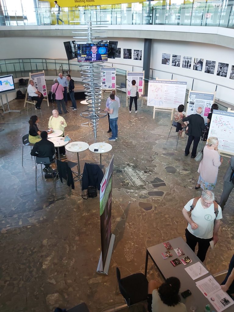
The resource was showcased at an exhibition at City Hall, London, last week – where visitors could view interactive online maps recording Travellers’ camps, yards, long-term settlements, and routes between London and the surrounding counties. Visitors also listened to first-hand accounts and viewed display boards and maps showcasing the rich cultural and economic connections that Traveller communities have with different parts of London, with a focus on the East End.
“The exhibition focused on particular themes, times and places, using a selection of archival materials, photos, newspaper cuttings, and audio recordings of Romany and Irish Travellers who share knowledge and memories and reflect on Traveller life, past and present,” said Anna Hoare, LGT’s Community Research Officer.
Supported by a grant from The National Lottery Heritage Fund, LGT has worked in partnership with Mapping for Change to build the first interactive, online maps of London to bring to light the knowledge, skills and cultural lives of Travellers. The maps link to a combination of sound and voice, photography, video and archive material.
You can explore the maps at http://lgtheritage.communitymaps.org.uk
Anna Hoare said this was just the beginning. “This is a project that must be developed by the communities, so that their voices and their stories can be heard.”
Over the next few months the team working on the Mapping the Histories of London’s Travellers project will continue to expand their reach and work with different Traveller communities across London and beyond. LGT hopes to showcase the exhibition in different venues such as art centres, libraries, town halls and community spaces.
Please contact Ilinca Diaconescu on policy@londongandt.org.uk if you are interested in hosting the exhibition.


